Grotto Trail Hike at Circle X Ranch in Malibu
/Although it takes a bit of patience getting from the Thousand Oaks area to Circle X Ranch nestled in the Santa Monica Mountains in Malibu, Sandstone Peak (highest point in the Santa Monica Mountains), the Mishe Mokwa Trail (including the amazing Balanced Rock) and the Grotto Trail make it a worthwhile trek.
The Grotto Trail is a 3 1/2 mile round trip hike from the Ranger Station at Circle X Ranch at 12896 Yerba Buena Road, Malibu.
You can park in front of the Circle X Ranch building, then follow the signs down to the Grotto Trail trailhead adjacent to the group campground. Parking is free. There is a restroom and drinking fountain along with maps available. A park ranger may also be on hand to answer any questions.
The mostly single track trail leads you on rolling terrain down to an area called The Grotto, where you will find a creek and, in winter months, a waterfall. The trail is a bit rocky but can be done by most ages. The hills are rolling, the terrain varies with rocks, a areas with steps, etc. There is also ample amounts of poison oak growing on the sides of the trail various section, so do be aware. That said, I've been here several times with the kids and we managed to avert any issues.
Bikes are not allowed on the Grotto Trail. Dogs are allowed on leash, until you reach the streambed at the bottom of the canyon. Learn more at www.nps.gov/samo/planyourvisit/circlexranch.htm.
Grotto Trailhead sign adjacent to circle X campground
So what makes the Grotto Trail special? Well, you hike down through a canyon leading to the west fork of the Arroyo Sequit. Plenty of shade and views all over. Once you reach the bottom of the trail, there is a creek. You'll hear running water pretty much year-round (though in late summer it can be a trickle). If you keep trekking down the unimproved creek bed, you'll come across large boulders and rock formations down to the "Grotto," a caved area pooled with water. But to get down there is not for everyone. You'll want to have both hands available as you climb down the boulders to the cave below. It is pretty cool though and you can explore without actually getting into the water. Photos below.
About .4 mile into the hike, you'll see see this sign for the Canyon View Trail, which takes you .6 mile up to a small parking area off of Yerba Buena Road (about halfway between Circle X Ranger Station and Sandstone Peak trailhead)
Watch out for the poison oak on the sides of the trail...there's plenty of it but you can avert it if you are aware.
Another sign, the final sign you'll see, .7 miles from the trailhead.
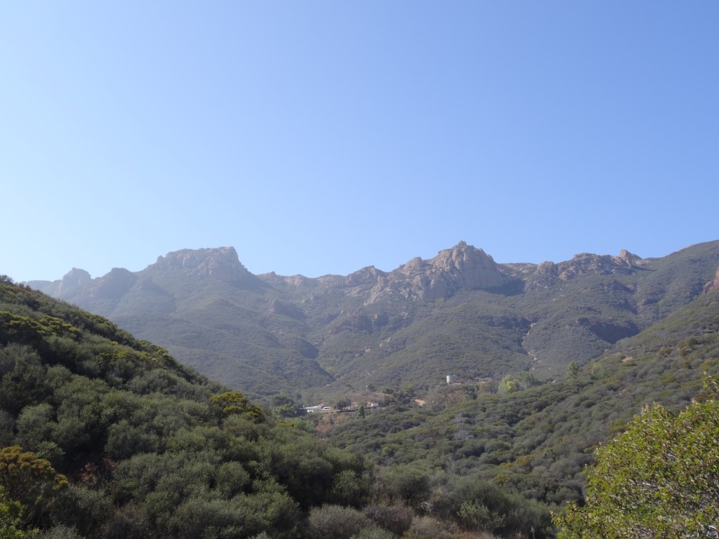
Some nice views of the surrounding canyons and towards Sandstone Peak.
Eventually you'll reach this tree-lined area next to a creek that leads to the grotto area.
Continue your way to the grotto through this unmarked, increasingly rocky section.
For many, this may be the endpoint for your hike once you see these boulders. But there's a path (I won't call it a trail, because it isn't) on the right hand side that, with a bit of patience, will get you to the cave below.
Not exactly easy but do-able. After the boulders there's a dirt path that I slipped on and flew nearly parallel to the ground, landing my lower back on a tree root. I survived but my utterances had to be bleeped out by censors.
View of the grotto cave from the outside. You can go inside there either through the water if you are prepared or through a hole formed by boulders above the cave, which we opted not to attempt. Maybe next time. It is pretty cool in there!
Definitely an interesting place to explore. this is above the cave area. But do watch for snakes and such down here too


