Vasquez Rocks Natural Area Park in Agua Dulce

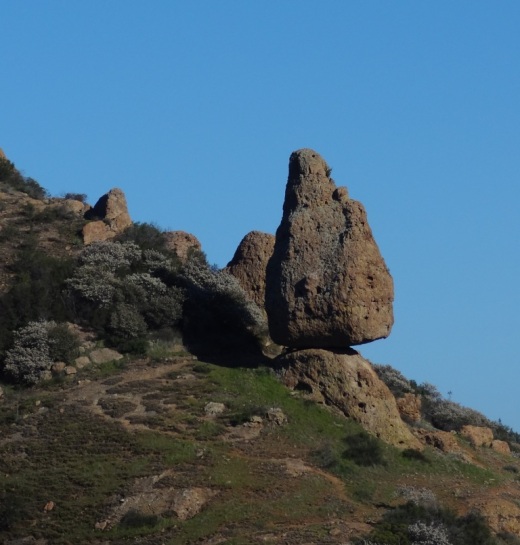
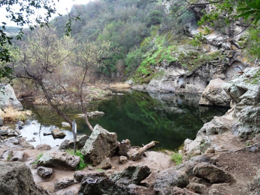
The 932 acre Vasquez Rocks Natural Area Park, owned and managed by the County of Los Angeles, contains ancient rock sculptures created by 20 to 25 million years of earthquake movement along the Elkhorn Fault, an offshoot of the San Andreas Fault. The park is located in Agua Dulce off the Antelope Valley Freeway. Click the image below for more information.

Sandstone Peak to Inspiration Point and Tri Peaks in the Santa Monica Mountains

On everyone's local area bucket list should be the hike to the highest point in the Santa Monica Mountains - Sandstone Peak. That hike is about 3 miles round trip.

If you're looking to extend that hike, you can do the Mishe Mokwa Loop trail in reverse. Or you can explore several other peaks not far away - Inspiration Point and Tri Peaks. Hiking to Tri Peaks and back is about 6 miles round trip from the Sandstone Peak parking area.

Just north of the Sandstone Peak staircase/final ascent is a sign that indicates the trail to Tri Peaks. The trail is clearly marked and about 3/4 of a mile west you will come to the Inspiration Point spur trail. Do check it out as frankly I think the views towards the ocean are better here than at Sandstone Peak. Inspiration Point is 2,766 feet in elevation.

Follow the trail towards Tri Peaks from Sandstone Peak.

Follow the trail towards Tri Peaks from Sandstone Peak.

Sign on the Backbone Trail towards Tri Peaks signifying you are at the Inspiration Point spur trail. Sign indicates 2,800 ft elevation though I've read it is actually 2,766 ft. Close enough.

Sign on the Backbone Trail towards Tri Peaks signifying you are at the Inspiration Point spur trail. Sign indicates 2,800 ft elevation though I've read it is actually 2,766 ft. Close enough.

The view from Inspiration Point towards the ocean. The road below is Yerba Buena.

The view from Inspiration Point towards the ocean. The road below is Yerba Buena.

Inspiration Point dedication sign to an Eagle Scout who lost his life much too early.

Inspiration Point dedication sign to an Eagle Scout who lost his life much too early.

Another 3/4 mile or so of hiking gets you to Tri Peaks, which is 3,010 ft elevation, not too far behind Sandstone Peak. Tri Peaks is northeast of Inspiration Point and there are a number of signs that tell you you are getting close. The final sign before reaching Tri Peaks says you are .2 miles away. But after that, to my knowledge there is no official sign that says you have reached Tri Peaks. The final 1/2 mile spur trail to Tri Peaks is much more narrow than the main trail.

You have reached your destination - Tri Peaks.

You have reached your destination - Tri Peaks.

Personally when I went I was alone and in running shorts and t-shirt. Had I been wearing more appropriate hiking gear and long pants, I would have explored the peaks and caves a bit but without being properly equipped I opted to stay safe. But on the west side you can get some pretty sweet views of the Santa Monica Mountains towards Point Mugu and beyond.

Also, be careful to pay attention to the trail you came in from. There is no signage indicating the trail back, and the trail is not particularly clearly marked. 

View towards the Oxnard Plain from Tri Peaks.

View towards the Oxnard Plain from Tri Peaks.

Ojai Library Ukulele Club

The Ojai Library Ukulele Club meets every Wednesday from 6 to 7 p.m. in the main library building. The Ukulele Club is about sharing the fun, simplicity, and musicality that the ukulele offers, and learning and practicing with other players. Continuously meeting since its formation in 2015, the club is open to all ages and levels of experience. If you have your own ukulele, bring it along! Alternatively, the club has a couple of extra ukuleles for drop-in guests to try out for the evening.

Feel free to bring a copy of a song or tune that you like; the club collects these in a book of songs used during meetings. Currently this collection includes classic ukulele standards, American folk music, contemporary selections, and more. Each songbook includes a chord chart and is easy to follow—each song has the accompanying chords and lyrics listed and ready to play!

These events are free and open to the public. For additional information, contact Ron Solórzano, Regional Librarian, at (805) 218-9146.

The Ojai Library is located at 111 East Ojai Avenue in Ojai. Hours of service are 10 a.m. to 8 p.m. Monday through Thursday and 12 p.m. to 5 p.m. Friday through Sunday.

The Ventura County Library is available 24/7 at www.vencolibrary.org.

Heritage Square Oxnard - Historic Tours

HeritageSquare.png

Visit Heritage Square in Oxnard for an information-filled tour of the historic structures of Heritage Square and learn more about Oxnard. Docent led tours are $5, $10 for a family of four. Every Saturday 10AM - 4PM and every Sunday 1PM - 4PM, weather permitting. School and group tours available by appointment. The tours are approximately 45 minutes long and include 3 interiors and 8 exteriors of the 15 structures on this block. Tours start at the Heritage Square Visitor Center at 715 South A Street, next to the water tower.

More information at www.heritagesquareoxnard.com or call 805.483.7960.

Santa Barbara Historical Museum

SantaBarbaraHistoricalMuseum.jpg

Founded in 1932, the Santa Barbara Historical Museum houses a collection of over 80,000 objects and artifacts of significance relating to Santa Barbara’s past. Constructed in 1965 by the Santa Barbara Historical Society, the Museum is the primary repository of Santa Barbara’s collective cultural heritage and ethnic diversity. Visitor see a wide array of unique paintings, objects, photographs, furnishings and textiles dating from the 15th century. Santa Barbara’s rich past is represented with artifacts from Chumash, Spanish, Mexican, “Yankee” and Chinese cultures. The Museum also hosts three to four special exhibitions a year in the rotating Sala gallery.

The Gledhill Library contains rare literary and visual documents, including 70,000 historic photographs. Two early 19th century buildings, the 1817 Casa Covarrubias and the 1836 Historic Adobe are adjacent to the Museum.

The Fernald Mansion, a fourteen room Queen Anne Victorian located at 414 West Montecito Street, is currently closed for renovation.

Admission is free, $5 donation suggested. The Museum is open Tuesday to Saturday from 10am-5pm, Sunday 12-5pm, and is closed Mondays. Free guided tours on Saturdays and Sundays at 2pm.

The Museum is located at 136 E. De la Guerra Street, on the corner of Santa Barbara St. and De la Guerra. Visit www.SantaBarbaraMuseum.com or call 805.966.1601 to learn more.

Ventura River Trail

VenturaRiverTrail.jpg

The Ventura River Trail is a 6.3 mile asphalt pedestrian and bike path that follows the old Southern Pacific Railroad right-of-way from Main Street in Ventura to Foster Park inland towards Ojai. The path, originally opened in 1999, connects the Ojai Valley Trail to the Omer Rains Trail along the beachfront for 17 miles of great bicycling. The trail is open dawn to dusk.

Much of the Ventura River Trail parallels Ojai Freeway 33 and as such is also referred to as the Ojai Valley Trail Extension. Here are the various access points from south to north:

OK, so now for some commentary. This is not exactly the most exciting bike path in the world. You are paralleling Highway 33 and are kind of off the beaten path in an industrial area, but it is a peaceful path. Also, there are several stops you need to make as you cross streets, so your kids (and you) do need to be aware of that. You won't find an ocean view on this path.  But...it is never crowded, quite flat and a great way to get out on the bikes away, for the most part, from automobiles.

One of the more interesting, albeit somewhat creepy scenes along the path is this dormant USA Petroleum Refinery that was closed in 1984 after operating less than 10 years.  A bit of an eyesore this 96 acre, barbed wire fence enclosed section on the north end of the trail is. In the past there have been homeless encampments in the vicinity, but I've never seen them.

USAPetrol_view1.JPG
USAPetrol2.JPG
USAPetrol4.JPG

What I like to do is park in the free city parking lot near the Omer Rains Trail at the corner of W. Main St and Peking St, then take Main St a block east to N. Olive St, turn left (north) to Rex St. Take a left on Rex to the bike path entrance.

VenturaTrailEntry.JPG
VenturaTrailHwy33.JPG

Oakbrook Neighborhood Park in Thousand Oaks

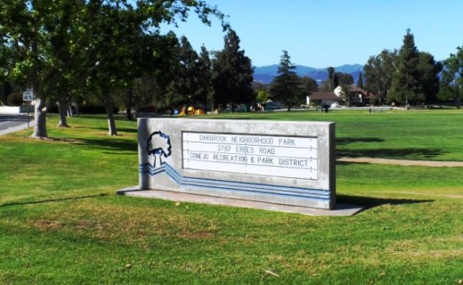
Located at the corner of Erbes Road and Pederson Road in Thousand Oaks, the 14 acre Oakbrook Neighborhood Park was expanded dramatically in 2012. The original park included a play area, sand volleyball court and large grassy area. The expansion includes a decent-sized parking area, small restroom, basketball and netball* courts, a jogging/walking/bike path and a nice horseshoe pit area. Visit the Conejo Recreation and Park District website at www.crpd.org for more information.

OakbrookParkTOsign.JPG
OakbrookParkGrassPlayArea.JPG
OakbrookParkPath.JPG
OakbrookParkHorseshoes.JPG

This is the original section of the park; primarily expansive grassy area with play area in background.Paved path area in the expanded section of the park.Something you don't see too often these days...new horseshoe pit area .

Yes, this is a netball court, not to be confused with a basketball court!

Yes, this is a netball court, not to be confused with a basketball court!

To learn more about the game of netball, click this link. This is the first, and, as of May 2013, only netball court in Thousand Oaks. And yes, I was confused when I saw it too.

Wheeler Gorge Visitor Center and Campground in Ojai

WheelerGorge.jpg

The Wheeler Gorge Visitor Center is located at 17017 Maricopa Highway, Ojai. To reach the Center from Ventura take Highway 33 towards Ojai at the “Y” intersection (by the Vons shopping center) turn left on Hwy 33 for about eight miles.

The Center provides information about the Los Padres National Forest and also sells maps, trail guides, forest-related books, Adventure Passes and other items. It opened in June 2001. Staff are on hand to help you plan your backcountry trip planning in the area.

The Center also serves as a hub for interpretive and educational activities and programs. These include membership functions and presentations about the resources and issues of Los Padres National Forest. One of the more popular programs is the Introduction to Backpacking course.

The Visitor Center has a kitchen, classroom, library, audiovisual equipment, large parking area, outside picnic areas, and tools/equipment storage and serves as a staging area for forest projects in the southern section of the Los Padres National Forest.

The Center is open on weekends from 9am to 3pm, except Thanksgiving and Christmas. More information at lpforest.org/wheeler or call 805.640.9060.

Across the street is the Wheeler Gorge Campground, which is open year-round and offers over 60 single-family sites for tent or RV camping. Some sites are available on a first-come, first-served basis. Visit www.recreation.gov/camping/Wheeler_Gorge/r/campgroundDetails.do?contractCode=NRSO&parkId=70392 to learn more about the Wheeler Gorge Campground.

Alumni Park at Pepperdine University

Situated in front of Pepperdine's Malibu campus at 24255 Pacific Coast Highway, Malibu, Alumni Park is a beautiful 30 acre expanse of lawn, rolling hills, ponds and coral trees. The two ponds are actually open reservoirs (about 40,000 square feet each) of reclaimed water, but add beauty and serenity to the park. Intramural games are played in the flat field area, and picnics can be held under the scenic coral trees lining the crest of the park.

You cannot ask for a more serene setting overlooking the Pacific Ocean on a Sunday afternoon...unless of course I'm there with my kids.  This park is not geared towards children in that there is no playground facility, etc.  But...if you're looking for a very inexpensive, yet wonderful, peaceful and romantic date, bring a picnic basket and blanket to this park with your significant other and take in the unbelievable views.

If you are looking for peace, quiet and the most amazing views of the Pacific Ocean, stop by Alumni Park in front of Pepperdine University in Malibu. Pepperdine students are blessed to have such an incredible location.

Ojai Valley Trail

OjaiValleyTrail_Sign.jpg

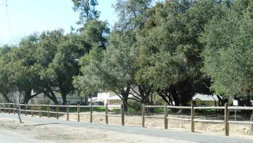
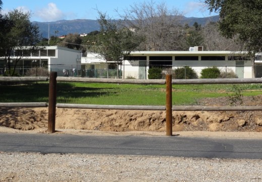
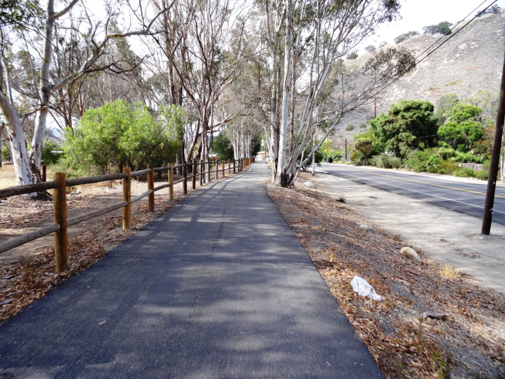
The Ojai Valley Trail is a 9 to 10 mile trail that parallels Highway 33 from Foster Park on the outskirts of west Ventura, to Soule Park in Ojai. One side of the trail is paved for bicyclists, walkers, joggers and people exercising their pets. Post-and-rail wood fence separates the paved path from a dirt bridle path for horseback riders. Sections wind through wooded areas and past riverbeds. While most of the path is offset from Highway 33 (the main thoroughfare in Ojai), it does have a number of street crossings. If staying in Ojai and you run or bike, you will no doubt cross paths with this path!

At Foster Park, the Ojai Valley Trail connects with the 6.3 mile Ventura River Trail, which in turn extends to the Omer Rains Trail along the Ventura beachfront.

OjaiTrail1.JPG
OjaiTrail2.JPG
OjaiTrail3.JPG
Ojai Valley Trail near Foster Park

Ojai Valley Trail near Foster Park