Building of the Norwegian Grade from Conejo Valley to Camarillo 1909 to 1911

This historic photo and information was generously provided by Gerry Olsen, grandson of Nils Olsen, one of the original settlers in the Conejo Valley in the 1890s.

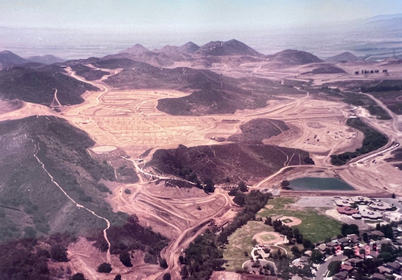
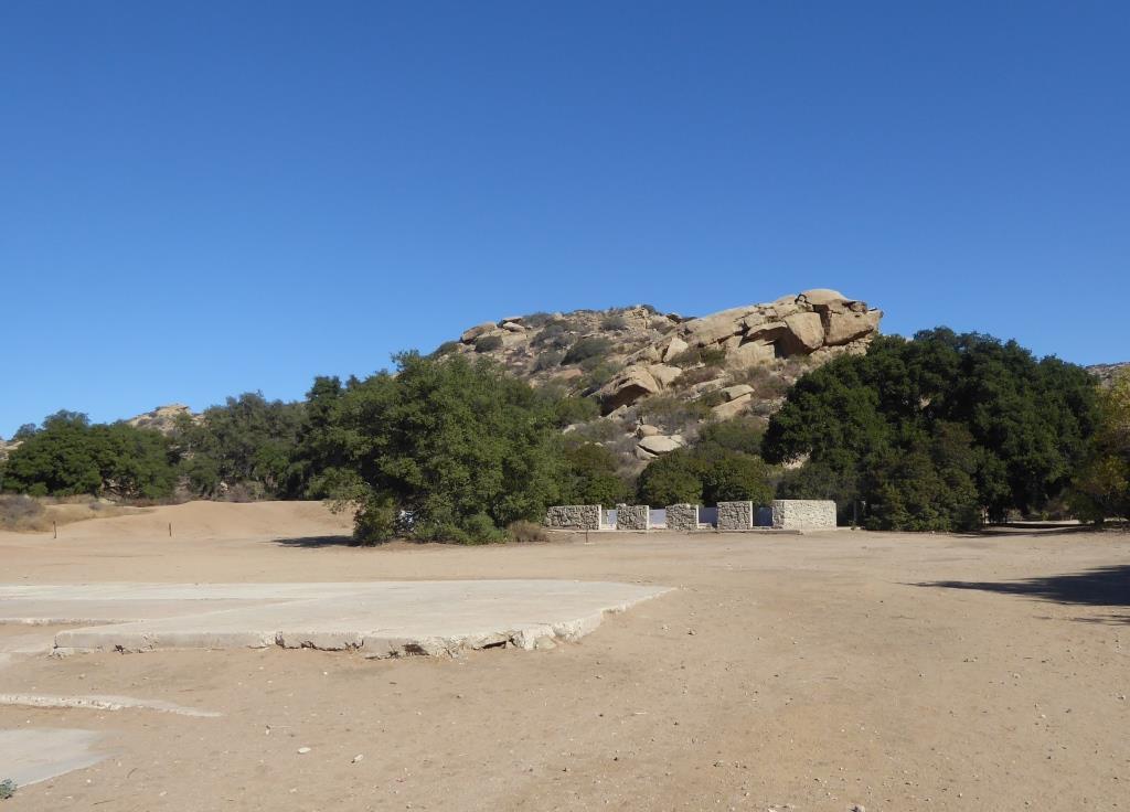
Back at the turn of the century, farmers in the Conejo Valley grew dry crops like barley and wheat and had to take their harvest to Port Hueneme/Oxnard via horse-drawn wagons. Their only routes were the treacherous (at the time) Potrero Road or down the unpaved Norwegian Grade to Santa Rosa Road.

So in 1909, with a $60 donation from the county to purchase dynamite, Norwegian families Olsen, Pedersen, other volunteers and paid helpers blasted into the hillside from Nils Olsen's property, 1 1/2 miles down to Santa Rosa Road.

It took two to three years to finish the project using the dynamite, manual labor and horse-drawn earth moving machines called Fresno Scrapers (named after a Scottish chap in 1883 who formed the Fresno Agricultural Works to manufacture it).  Here is a historic photo of these early Conejo Valley roadbuilders.

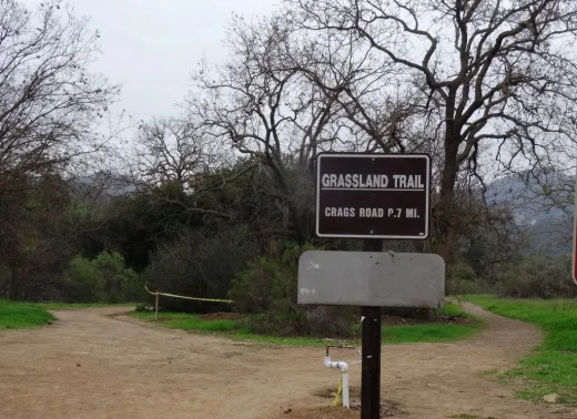
I used to run up the grade from time to time and that was a pretty tight squeeze, with its steep descent and cactus on the side of the road. While most of us take the 23/101 freeways to get to/from Thousand Oaks/Moorpark/Camarillo these days, the Norwegian Grade provides an alternate 2-lane route with a direct linkage to the gritty Norwegian settlers who had the guts and determination to build it.

Hike to the Rock Pool at Malibu Creek State Park in Agoura Hills

One of the most popular destinations in Malibu Creek State Park is the Rock Pool, a picturesque place that is easily accessible for all ages.

MalibuCreek_RockPool1.JPG

As seen in the photo above, it can be stunning to see after solid rains but can also dry up. One fun way to get to the Rock Pool is via the Grassland Trail, accessible on Mulholland Highway just west of Las Virgenes Road, where street parking is available.

GrasslandTrail_sign.JPG

Take the Grassland trail, with moderate hills, .7 miles to the Crags Road main fire road/trail in Malibu Creek State Park, and turn right. Alternatively, you can park in the Park's lower parking lot, pay $12 for a bit more secure parking, and take the main trail into the park.

The scenery along the Grassland Trail can be quite beautiful, particularly after the rainy season.

The scenery along the Grassland Trail can be quite beautiful, particularly after the rainy season.

MalibuCreekSP_020815.JPG
MalibuCreek_CragsRoadSign.JPG

Soon you'll see the sign where you can see the Visitor Center is on the left. That's the direction you'll be taking to get to the Rock Pool. Veering to the right gets you to another popular site at the Park, the old M*A*S*H television series set.

You'll see a bridge over the creek (seen below after the winter rains) that takes you to the Visitor Center (open weekends noon to 4pm). The Rock Pool is the trail on the right (west) before reaching the bridge. Look carefully and you may see the little sign that says "Rock Pool."

Malibu Creek free flowing after some decent winter rainstorms

Malibu Creek free flowing after some decent winter rainstorms

Well known Rock Wall used by rock climbers seen in the original Planet of the Apes (1968)

Well known Rock Wall used by rock climbers seen in the original Planet of the Apes (1968)

You'll walk through a shaded area with picnic benches through to a Rock Wall that is popular with local rock climbers. The video above shows scenes from the movie Planet of the Apes (1968) shot in Malibu Creek State Park. From there, the Rock Pool is a short walk further.

MalibuCreek_RockPool.JPG

California State Parks, which manages the Park, warns visitors not to jump or dive into the Rock Pool as it is dangerous. But it is certainly fun to explore and is quite a beautiful area.

RockPool_MalibuCreek.JPG

All told, getting to the Rock Pool is only about 3 miles round trip and worth it. I would put this hike on par with hiking to Paradise Falls in Thousand Oaks' Wildwood Park in terms of ease of access and family enjoyment. Learn more about Malibu Creek State Park at this link.

The Homeplace of Original Conejo Valley Settler Nils Olsen in 1913

This historic photo and information was generously provided by Gerry Olsen, grandson of Nils Olsen, one of the original settlers in the Conejo Valley in the 1890s.

Nils Olsen was born over 150 years ago (June 16, 1859) in Norway. After a stint in the Norwegian Army, he decided in 1884 that he wanted to move to the United States. So he started saving his money. In late January 1886 he bid farewell to his family. He arrived New York on February 20, 1886 via ship...it took about 16 days to get from Bergen, Norway to New York via Liverpool, England and Ireland (cost was roughly $58).

Built in 1905, this is the home of original Conejo Valley settler Nils Olsen in 1913.

Built in 1905, this is the home of original Conejo Valley settler Nils Olsen in 1913.

Two days after arriving in New York, Nils was off to San Francisco, where he arrived nine days later.  Then later that month (March 1886) he took the train and stagecoach to Santa Barbara, where for four years he worked as a stone mason. In 1889, Nils met George Edwards, whose family owned 20,000 acres in the Conejo Valley and who was selling parcels.

In 1890, Nils and four other Norwegians, Ole Nelson, Lars Pederson, George Hanson and Ole Anderson purchased 650 acres from Edwards. Apparently the land cost about $3/acre for flatlands and $2/acre for hillsides. They settled and grew barley and wheat for the next 20 years.  This area was known as the Norwegian Colony.

Anderson sold his land to Hanson by 1900 and moved back to Norway. Nelson sold his land to Pederson in 1902. Hanson's wife (he died at age 39 in 1901) sold her land to Olsen in 1902-1903. That left just the Olsens and Pedersons.

Olsen's first home was southeast of the corner of Olsen and Moorpark roads. In 1905, he and his family moved into the new three bedroom home and barn pictured above. The photo was taken from the hill behind where the Church of the LDS on Moorpark Road currently resides. The home was located on, but of course, OLSEN Road near the corner of Olsen and Mountclef (adjacent to Cal Lutheran University).

Outdoor castle scenes of Wuthering Heights were filmed on the Olsen property in 1938. Nils passed away on December 14, 1941 at the age of 82.  In 1954, the home pictured above was torn down to make room for a more modern home.

There is so much more history to tell about these Norwegian settlers who bravely settled on the land we now reside.  Here I am stressing out about pulling weeds and mowing the lawn. These hearty Norwegians will forever be remembered in the Conejo Valley.

Dos Vientos Ranch Twenty Five Years Ago Compared to Today in Newbury Park

Dos Vientos Ranch in August 1997

Dennis Bronk of Newbury Park sent over this old photo of the Dos Vientos Ranch (or Two Winds Ranch) development in its early stages in August 1997. That's Cypress Elementary near the bottom right side of the photo. The body of water east of the school is Conejo Mountain Creek Detention Basin No. 1. The photo below is the view today.

Keep in mind that in the late 1800s/early 1900s there was almost no residential development throughout the Conejo Valley. The Dos Vientos development was the last of the large developments we will ever see in the Conejo Valley.

A view of Dos Vientos Ranch looking towards the Oxnard Plain in the 1950s.

The Corriganville Movie Ranch Site in Simi Valley is a Ventura County Historical Landmark

The Corriganville Movie Ranch Site in Simi Valley was designated a historical point of interest by the Ventura County Cultural Heritage Board in January 1982, then subsequently was redesignated as a historical landmark in August 1995.

Corriganville was a 1,500 acre piece of land in Simi Valley purchased by western film star Ray “Crash” Corrigan in 1937. The site was a working movie ranch for nearly three decades, and was used in the making of roughly 3,500 western films and television series such as Fort Apache, The Lone Ranger, and The Adventures of Rin Tin Tin. Actors like John Wayne, Gene Autry, Johnny Weissmuller, Tex Ritter, Joel McCrea, Dale Evans and so many others filmed movies here.

Corriganville today...the ranch burned down in the 1970s, leaving just these cement slabs and exterior walls.

Corriganville today...the ranch burned down in the 1970s, leaving just these cement slabs and exterior walls.

In 1949, the ranch opened to the public as “Corriganville,” a western themed amusement park. The ranch was later purchased by Bob Hope in 1965, deeming the ranch its alternative name, Hopetown. The ranch burned down in the 1970s and all that is left are the cement slabs and exterior rock walls of the barn. 

View of Corriganville Park from a trail on the east side of the park. The trail takes you up to 118 Freeway and a wildlife corridor tunnel that takes you under the freeway into Rocky Peak Park.

View of Corriganville Park from a trail on the east side of the park. The trail takes you up to 118 Freeway and a wildlife corridor tunnel that takes you under the freeway into Rocky Peak Park.

In 1988, 190 acres of the original ranch was purchased by the City of Simi Valley and is now owned and managed by the Rancho Simi Recreation and Park District. Corriganville Park is located at 1601 Kuehner Drive, Simi Valley and is open to the public for hiking, walking and exploring. For a detailed compilation of historical aspects of the site, visit www.corriganville.net.

A photo of the Corriganville Movie Ranch when it was an active movie set. Learn more about Corriganville and see a model of what it looked like in the 1960s at the nearby Santa Susana Depot Museum.

A photo of the Corriganville Movie Ranch when it was an active movie set. Learn more about Corriganville and see a model of what it looked like in the 1960s at the nearby Santa Susana Depot Museum.

Banning Dam (Lake Eleanor Dam) in Thousand Oaks is a Ventura County Historical Landmark

Banning Dam (also referred to as Lake Eleanor Dam) was designated as Ventura County Historical Landmark No. 120 in May 1988. Built in 1889 at 37 feet high and 140 feet long at its crest, the dam is located in a gorge adjacent to Westlake Boulevard, just south of Potrero Road. It is considered either the first or second concrete arched dam built in California.

The 8 acre Lake Eleanor can be seen as you are driving on Westlake Boulevard/Decker Canyon or you can do the Lake Eleanor Open Space Hike in Westlake Village for a view of the lake from above.

The lake and surrounding 529 acres of open space is fenced off from the public to create a habitat for wildlife. The area include rugged hills, rocky outcrops, freshwater marsh habitat, oak woodland and coastal sage scrub. Hawks and other large birds often use the outcrops for nesting sites and the area supports several species of rare/endangered plants.

The Lake Eleanor open space was acquired by the Conejo Open Space Conservation Agency in 1986. Banning Dam was designated City of Thousand Oaks historical point of interest No. 9 in May 1988.

Banning Dam

Banning Dam

The Saticoy Southern Pacific Railroad Depot is on the National Register of Historic Places

Saticoy Southern Pacific Railroad Depot seen from Alelia Ave

The Saticoy Southern Pacific Railroad Depot is located in the unincorporated community of Saticoy at 11220 Azahar Street.

The depot, built in 1887, was designated Ventura County Historic Landmark no. 176 in May 2016. It was listed on the National Register of Historic Places in 2018.

The depot was built by the Southern Pacific Railroad along the line that was being constructed from Los Angeles to Ventura in 1887. The original town of Saticoy was laid out near the new depot. Its name comes from the Chumash village of Sa’aqtik’oy. 

The Saticoy Depot served rail that traveled through the Santa Clara Valley between Saugus to Ventura County. It was one of 14 Southern Pacific Railroad Depots in Ventura County - the others were Oxnard, Santa Susana, Santa Paula, Fillmore, Piru, Ojai, Camarillo, Moorpark, Sespe, Camulos, Somis, Montalvo and downtown Ventura. Only six of these remain today.

Saticoy Depot in 1956 (Museum of Ventura County)