Fun Things to Do in Historic Ojai, Ventura County's Smallest City
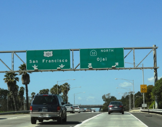
/Ojai, Ventura County's smallest city with under 8,000 residents, is 40 miles from Thousand Oaks, the 2nd largest city in the county. This drive is well worth it if you're looking for a unique old town feeling right here in Ventura County.
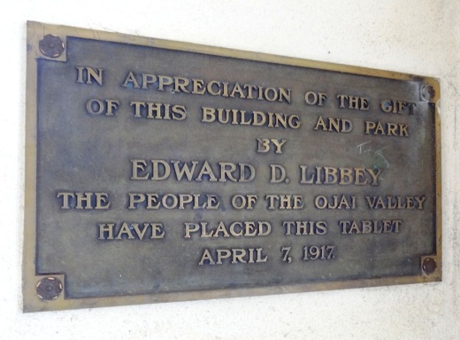
Incorporated as a city in 1921, the Ojai Valley was once inhabited by the Chumash Indians. The name Ojai is derived from the Chumash word "Awhai," meaning "moon." Glass manufacturer Edward D. Libbey helped create the layout of Ojai. After a fire destroyed much of the town in 1917, the western-style town received a new Spanish Revival look.
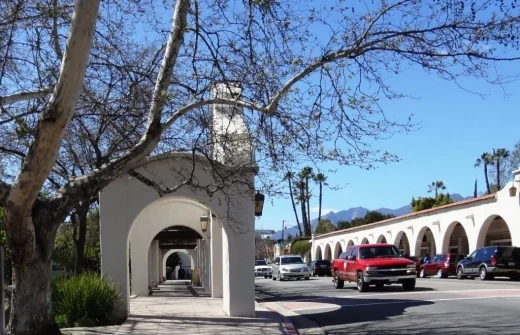
View of the arcade and pergola in front of Libbey Park on Ojai Avenue.
The Ojai Post Office tower and portico was completed in 1917 and is a focal point for the city at the corner of Ojai Avenue and Signal Street. The tower was modeled after the Christopher Columbus Cathedral in Havana, Cuba, with additional details from Mexico. The tower complements the arcade and pergola along Ojai Avenue. You can't miss the one block arcade with its shops, eateries and art galleries.

Here's a selection of just some of the great things to do in Ojai:
The Ojai Valley Inn and Spa is a great local weekend getaway! Whether you stay there overnight or not, the Ojai Valley Inn's historic 18 hole golf course, 31,000 sq ft spa and fitness facility and four lighted tennis courts are available to local day trippers.
Libbey Bowl and Libbey Park are located in the heart of Ojai next to the downtown arcade area. Libbey Bowl, originally built in 1957 and completely renovated in 2011, is used for the annual Ojai Music Festival, Storytelling Festival, Ojai Day celebration, holiday events and much more. Libbey Park provides plenty of sitting areas, shade trees, a kids' playground in the heart of the city.

Strolling and shopping in the Ojai Arcade
Founded in 1966, the Ojai Valley Museum at 130 West Ojai Avenue maintains an extensive collection of art, Native American baskets, pioneer tools and photographs of early days in Ojai.

Meditation Mount
Located on a 32 acre site overlooking the Ojai Valley, Meditation Mount is a public meditation center that has invited the public to its beautiful grounds since opening in 1970. Two hour visitation experiences are $12 at designated time frames. meditationmount.org
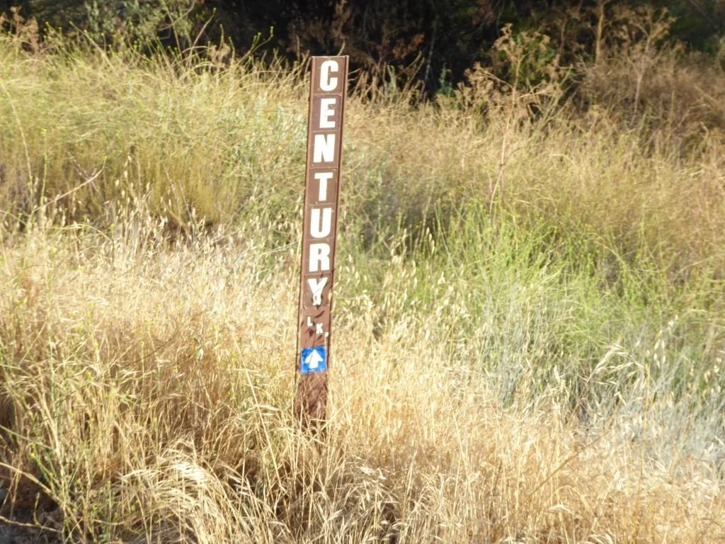
The Ojai Valley Trail provides cyclists, equestrians, runners and strollers a nine mile path paralleling Highway 33 from Foster Park on the north end of Ventura to Soule Park on west of downtown Ojai. My personal favorite activity in Ojai is riding bikes on this trail.

The Ojai Playhouse is a single screen theater originally built in 1914 that has been restored to its deco-style look inside and now shows first run movies in a theater that seats over 200 people. The Ojai Film Society hosts eclectic, independently produced movies here on Sunday afternoons.
The Ojai Trolley Service provides transportation on a fixed route schedule throughout Ojai, Meiners Oaks and Mira Monte. Where else can you find a year-round trolley around here!?

Ojai Day was originally conceived in 1917, took a long hiatus in the 1920s, and came back in 1991 on the third Saturday of each October. The event showcases the best Ojai has to offer, with entertainment, a parade, art, food, games and much more. Visit www.ojaiday.com for more information.
One of my favorite activities with the kids just minutes from Ojai is the Lake Casitas Recreation Area, which includes the seasonal (Memorial Day to Labor Day weekend) Casitas Water Adventure. Though the water is not heated, the 1,200 foot lazy river and multi-level water jungle gym for the kids is sure to entertain you while cooling you off.

Casitas Water Adventure
For other year-round things to do in Ojai, click here in the Do Something section of CVG or here for kids' activities. Or here for Fitness & Sports activities. And for upcoming Ojai events, click here. To learn more about the city, visit the City of Ojai website at ojaicity.org.