Conejo Creek Bike Path in Thousand Oaks
/
Conejo Creek Bike Path (Courtesy City of Thousand Oaks)
The Conejo Creek Bike Path is a 1.2 mile path in Thousand Oaks that connects Gainsborough Road on the south to Conejo Creek Park South. From there, you can cross Janss Road to get to the Thousand Oaks Library, Conejo Creek Park North, and the Thousand Oaks Teen Center.
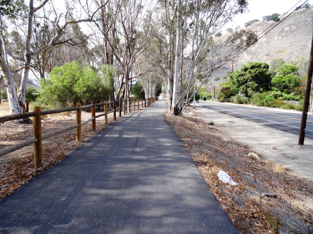
This path opened to the public in Spring 2011, providing a nice, flat alternative to city streets as it goes under State Route 23.
The paved path on Paige Lane ends at Janss Road across the street from the Thousand Oaks Library, but you can take the crosswalk at Janss Road at the crosswalk and from there get to a wide, fairly flat horse trail that takes you up to Avenida De Los Flores.

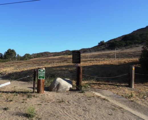
The east end of Gainsborough Road has an access point to the Conejo Creek Bike Path

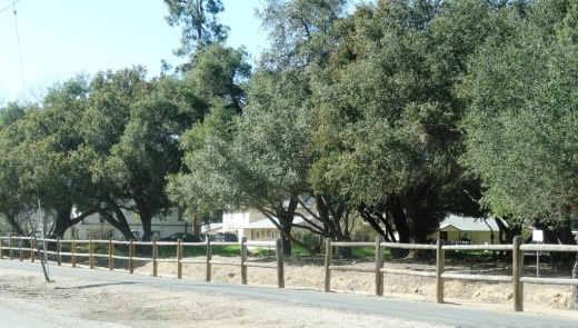
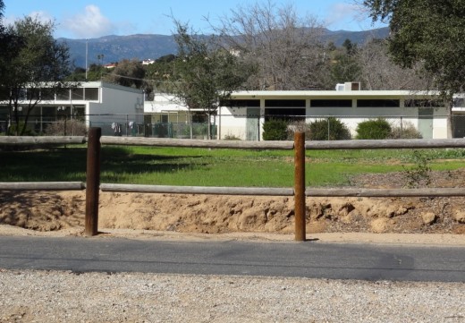
Nice flat path adjacent to city streets and neighborhoods

The path takes you under the 23 Freeway

The path ends at Janss Road, across from the Thousand Oaks Library Conejo Creek Park North.
The City of Thousand Oaks maintains approximately 80 miles of bikeways, including about 3 miles of bike paths, roughly 54 miles of bike lanes and another 20 miles or so of bike routes.