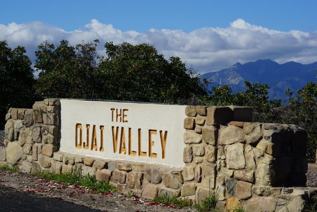
Another Look at the Conejo Valley Before and After the Rainstorms of 2017
/Last week's highlights of scenes around the Conejo Valley before and after the winter rains of 2017 were so popular that I went back to the photo archives to find more photo duos to share. The temperatures are starting to heat up, so we have to enjoy this green while we can!

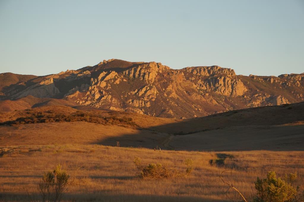
Rancho Sierra Vista, behind the Satwiwa Native American Culture Center.

Rancho Sierra Vista after the rainstorms of 2017.

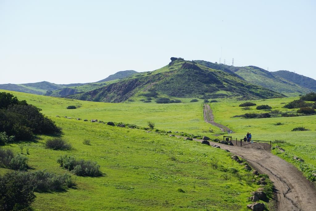
A view towards Newbury Park from the Rosewood Trail / Angel Vista Peak.

Rosewood Trail./ Angel Vista Peak views after the rainstorms.

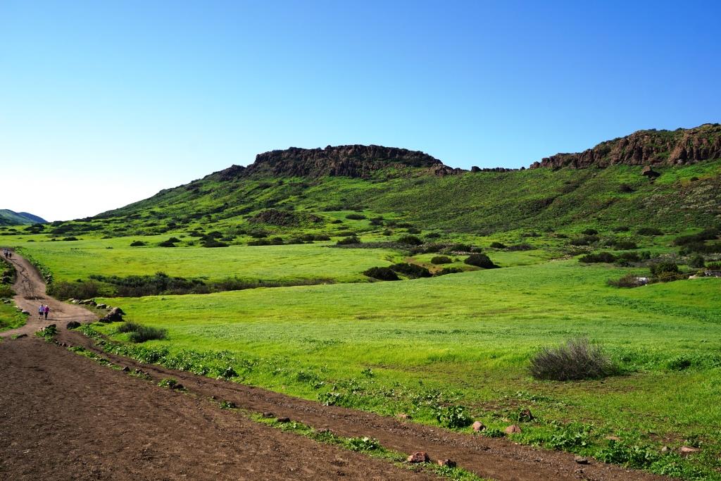
View of Mountclef Ridge from Tarantula Hill.

A greener view of Mountclef Ridge after the rains.

The former Olympia Farms property in the Rancho Potrero Open Space in Newbury Park.

Greener times in the Olympia Farms area.

Los Robles Trail looking east from "Space Mountain."

Fueled by months of steady rain, it is looking green here in the Los Robles Trail System.
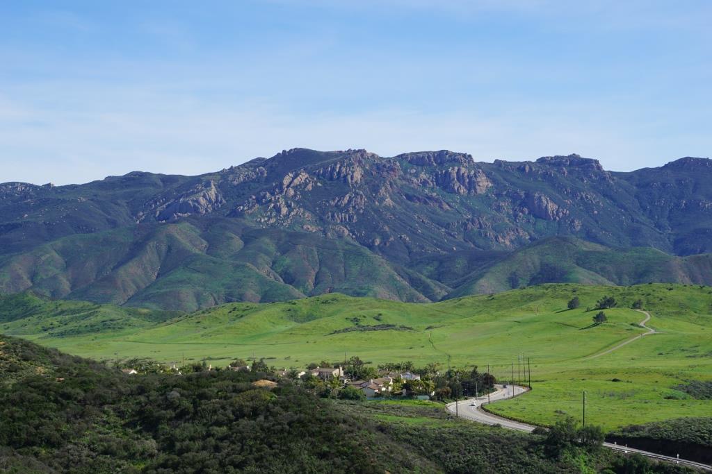
View of Boney Mountain Range from Rancho Potrero Open Space last fall.

Green foreground after the rains in Rancho Potrero looking at Boney Mountain.