Grant Park in Ventura is a No Brainer for Panoramic Views of the Coast
/
The 107 acre Grant Park is easily accessible from Downtown Ventura via Brakey Road or Summit Drive in Ventura and is a quick and easy way to get your dose of coastal views. There's no playground, restrooms, water or other facilities at this park. But there's plenty of open space and scenery below.

The view looking the opposite direction of the Pacific Ocean, over the western-most section residential section of Ventura.Several other notable items at Grant Park are the privately owned Serra Cross Park and the Ventura Botanical Gardens Demonstration Trail.
You can spend 10 minutes up here for a quick dose of views or you could spend half a day up here resting, hiking, picnicking and enjoying the ocean breezes.
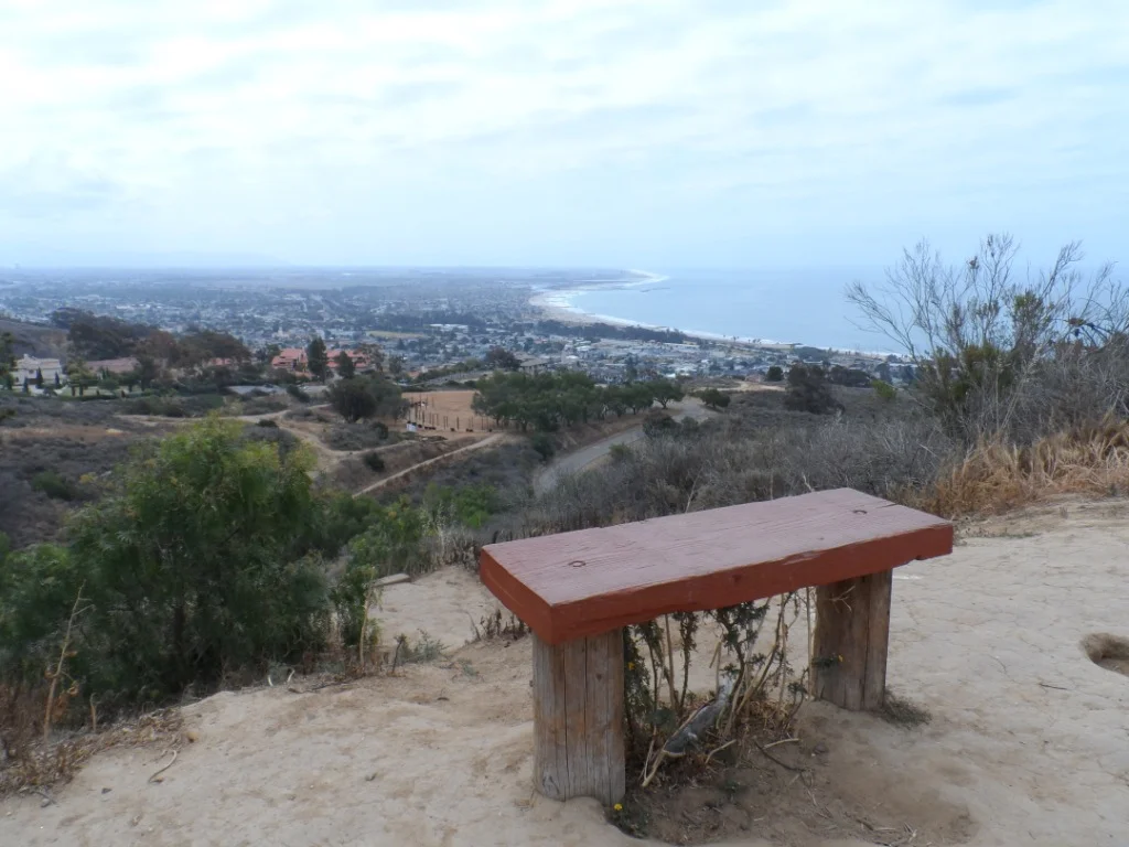
At the very, very top of Grant Park is this lone bench.