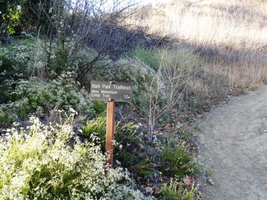
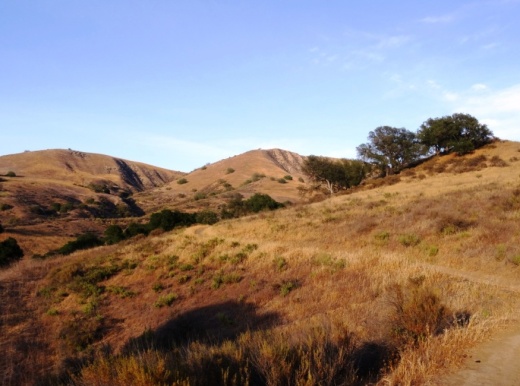
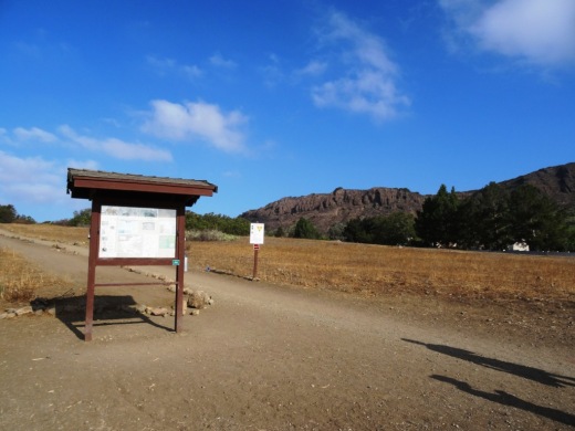
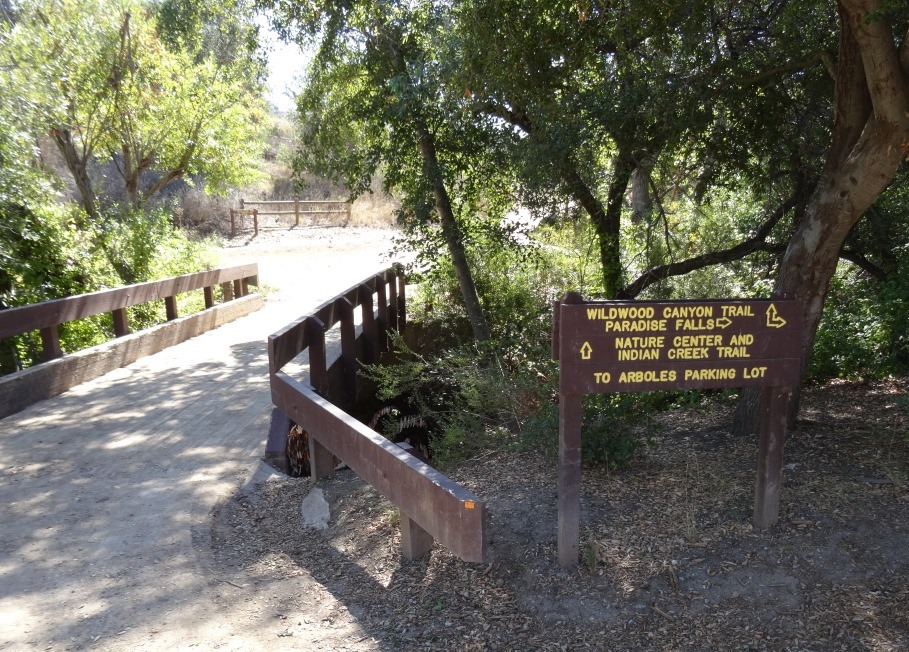
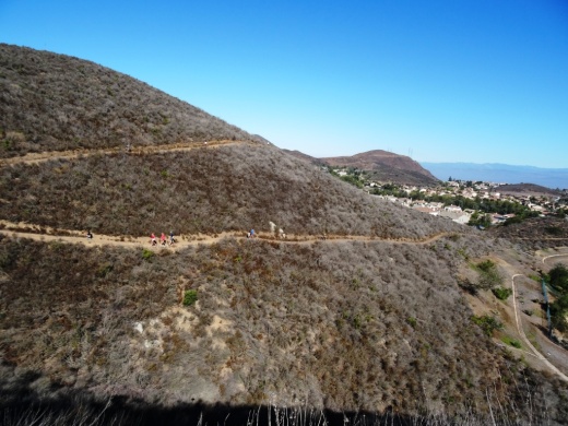
So you've reached the bottom of Wildwood Canyon and other than heading back up that steep Lizard Rock Trail to where you just came from, you can take the more interesting loop route following the Wildwood Canyon Trail to Wildwood Canyon. There are restrooms, drinking fountain and picnic tables in there.
From Wildwood Canyon, either continue onward up the Wildwood Canyon Trail about a third of a mile to Paradise Falls, or the Tepee Trail (yes, this is what it is called on the map), which largely parallels the Wildwood Canyon Trail, up towards, yes, the Tee Pee. Then follow the signs back
There is a great map that covers this Lizard Rock to Paradise Falls to Two Springs (formerly Indian Creek) Trail loop, about 4 1/2 miles in total, on the Conejo Open Space Foundation website at www.cosf.org/website/html/lizard-waterfall-creek.html.
Since we're down at the bottom of the canyon, you will see a sign for "Skunk Hollow." This is a tree-lined area adjacent to the creek with a picnic bench. Kind of nice little area, just around the corner from the waste treatment plant, albeit not within view of the plant.
And in that area, you will see a sign indicating Eagle Point Trail. Eagle Point Trail is a hilly little 1/3 of a mile alternate route that gets you into Wildwood Canyon. The first section has dozens of steps. The remainder has a few steep sections. Just a small side attraction to check out.


