Sycamore to the Sea Hike, Run or Bike From Newbury Park to Sycamore Cove
/Did you know that you can walk, hike, run or bike from Newbury Park to the ocean over 8 1/4 miles pretty easily, without dealing with automobiles? Park your car at the Wendy and Potrero trailhead or at the Rancho Sierra Vista/Satwiwa parking lot in Newbury Park and experience it yourself.

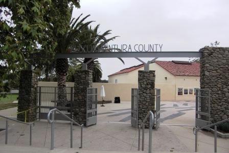
The entry to the Rancho Sierra Vista/Satwiwa area.

The Satwiwa Native American Indian Culture Center is a short walk from the parking lot.
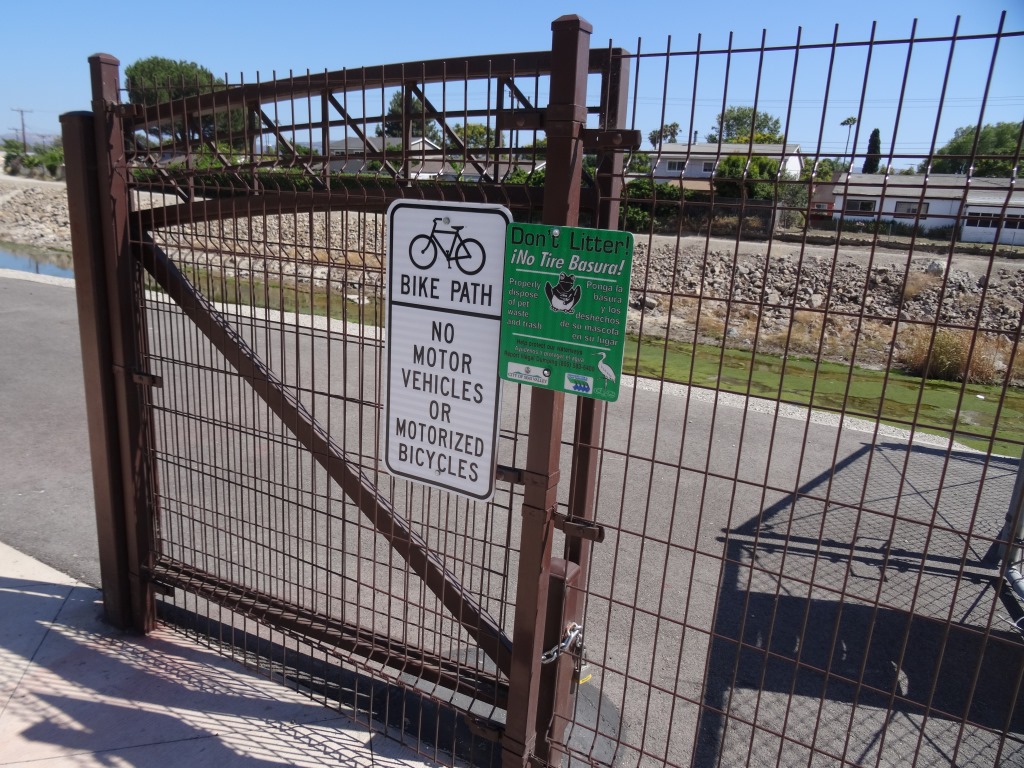
From there, take the paved road, called the Sycamore Canyon Fire Road, towards the ocean.

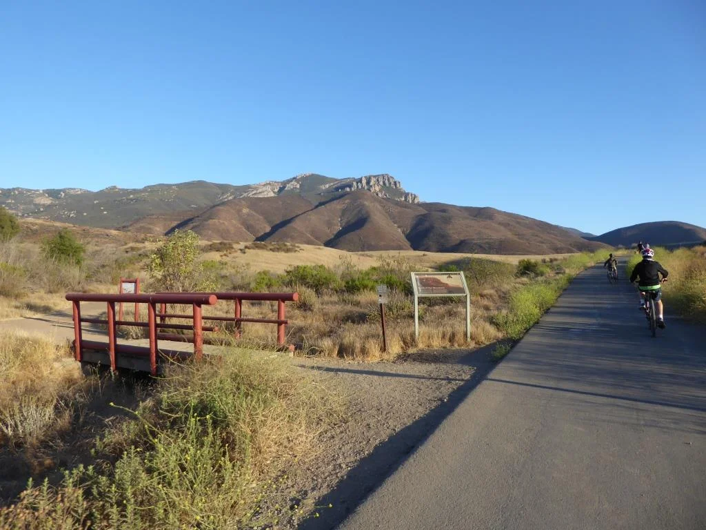
This is a nice, wide paved road with trails along the side much of the way. Generally cool in the early morning year-round as you head towards the ocean, plenty of rest/pit stop areas on the way down and nice and peaceful and beautiful, full of canyons, trees and wildlife.

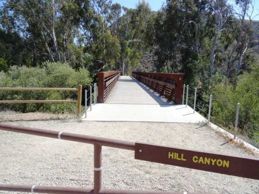
The steepest descent on this course is a roughly 800 foot drop over a 3/4 of a mile into the canyon on the paved road after you see this sign. Coming back up if you do the full round-trip circuit is a bit of a challenge.

After you drop into the canyon, it is pretty much smooth sailing. The paved road stops right around the Danielson Multi-Use area (see image below for that juncture). After that, follow the wide, dirt fire road towards the beach.

There are numerous water spigots on the side of the road going down, which comes in quite handy on warmer days. If you use them, just make sure to turn them off.

About 3/4ths of the way down to the beach, you'll pass one of the most picturesque locations for a porta-john that I've ever seen.
A few miles after passing the above porta-john, you'll reach the Sycamore Canyon Campground, which has 58 campsites and is across Pacific Coast Highway from the ocean. Cross over PCH (be careful!) or find the underpass that takes you under PCH to the Sycamore Cove Beach area, with picnic tables, bathrooms, etc., and enjoy your day!

Sycamore Cove Beach in Point Mugu
From there, you either head back up or call your significant other to pick you up. Or perhaps plan it out in the morning to leave one car at the beach in either the Sycamore Canyon Campground or Sycamore Cove day lots (they open at 8am) for a fee, or park on PCH where there are spots near Thornhill Broome Beach and the giant sand dune, then drive another car back (obviously you can't do this alone), park the 2nd car at Rancho Sierra Vista/Satwiwa, hike/walk/bike down the canyon to retrieve car #1.
Or do what I did once, which was drive down to Sycamore Cove via Potrero Road/Las Posas/PCH, park the car, run (or perhaps ride) up to Newbury Park, then ride down with the kids and enjoy the beach. Fun!
For a map of the Rancho Sierra Vista/Satwiwa area with a portion of the Big Sycamore Canyon Trail, visit www.nps.gov/samo/planyourvisit/upload/Rancho-Sierra-Vista_Satwiwa_2023.pdf (National Park Service pdf brochure).