Historic Southern Pacific Railroad Depot and Moreton Bay Fig Tree in Santa Paula
/
The Southern Pacific Railroad Depot in Santa Paula is located at 963 E. Santa Barbara Street, adjacent to the Museum of Ventura County's Agriculture Museum. Built in 1887, this was the first train depot in Ventura County, serving passengers until 1934 and hauling freight until 1975. It was also one of the first prefabricated structures in Ventura County, with its second floor serving as living quarters for the station's agent and family. It was designated as Ventura County Historical Landmark #23 in April 1972.
The Depot is now home to the Santa Paula Chamber of Commerce and a gift shop. A nice place for visitors to stop by and obtain tourist information.

Also located in the restored Railroad Depot is Santa Paula Society of the Arts, which hosts an art gallery on weekends from noon to 4pm.

Just south of the Depot, across Santa Barbara Street, stands a towering Moreton Bay Fig Tree, Ventura County Historical Landmark #79, designated in September 1982. This tree was planted July 4, 1879 by the Reverend Eben H. Orne to honor the birth of his daughter Cecilia. Quite a beautiful, large tree.
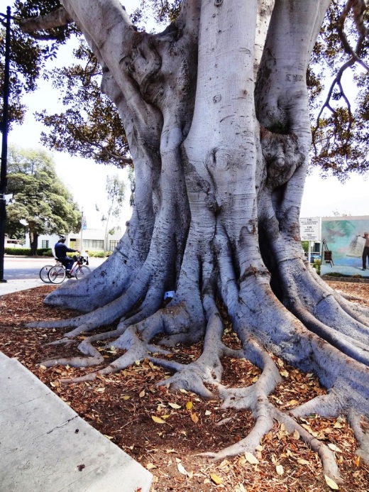
This majestic Moreton Bay Fig Tree is over 130 years old and looking great.