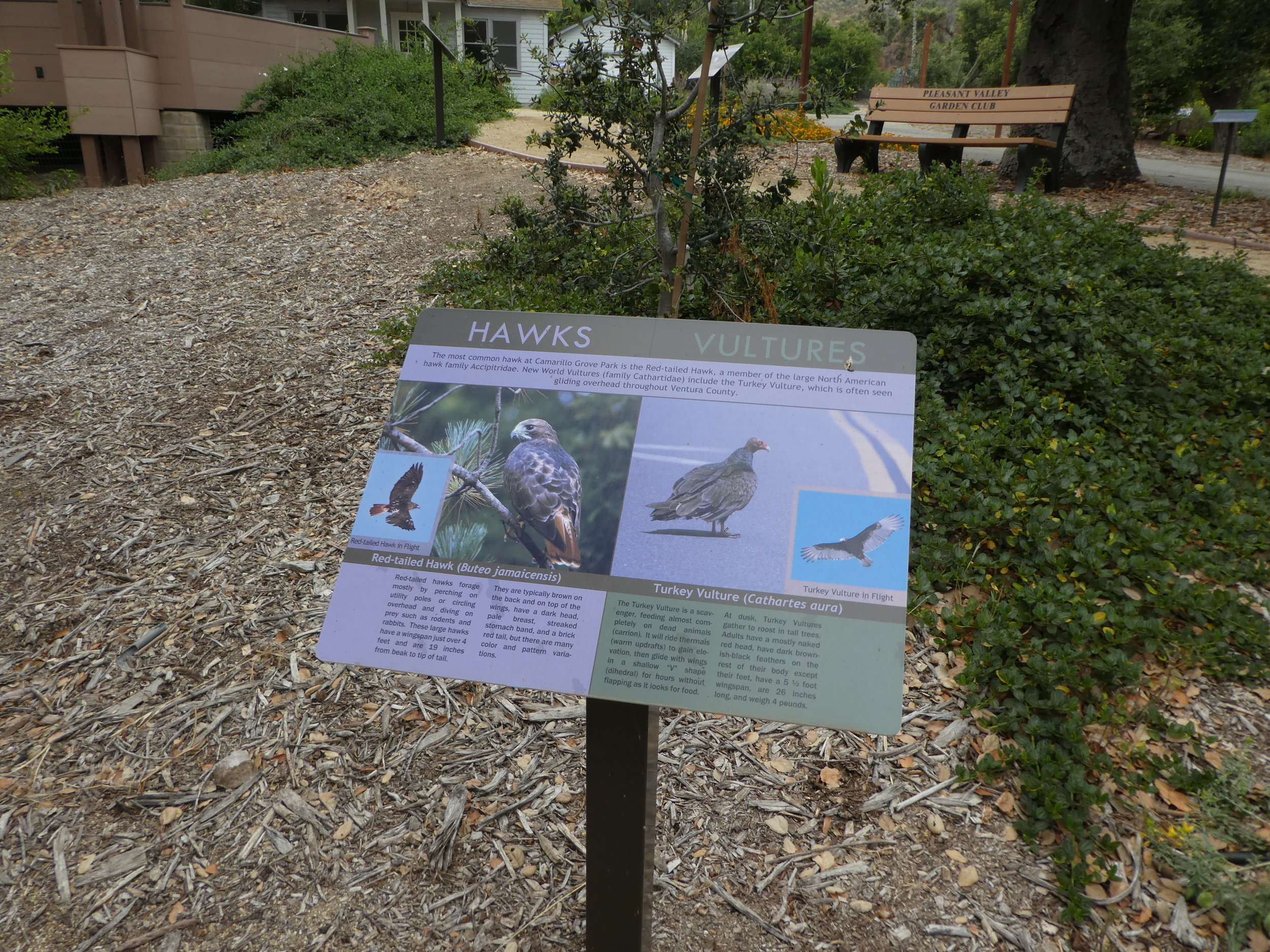
Hiking in the North Ranch Open Space in Thousand Oaks
/The North Ranch Open Space is represented by several massive sections of nearly 2,600 acres located in the east side of Thousand Oaks. There is a section east of Erbes Road to Westlake Boulevard down to Hillcrest Drive on the west side (this area is referred to as the Hillcrest Open Space Preserve) as well as a section further east bounded by Westlake Boulevard on the west, Lindero Canyon Road on the east and Thousand Oaks Boulevard on south.
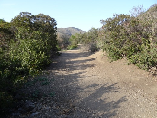
These hills are beautiful and quite prominent from throughout the Conejo Valley. Hiking, running and cycling these hills can be a challenge as they are quite steep in most sections.
A main trailhead into the North Ranch Open Space is on Bowfield Street, just east of the North Ranch Playfields. The trail is called the Saddle Pass Trail, winding up and down the hills south towards Thousand Oaks Boulevard.
There are various other neighborhood trail entry points throughout the vast area. One of these is located at Canyon Oaks Park, 6200 Hedgewall Drive, Westlake Village. There's a walkway and a small bridge that leads to a quite intense looking path up the hill. And indeed, it is a very steep path. Definitely not for everyone. This is a path into the Bowfield/Saddle Pass Trail, which is maintained by the Conejo Open Space Conservation Agency.
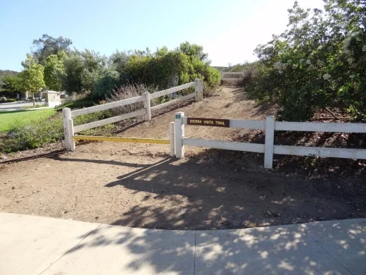
The Wishbone Trail is a loop trail into the North Ranch Open Space that starts and ends at Westlake Village Community Park, 31107 E. Thousand Oaks Blvd., Westlake Village. Trailhead is at the west end of the parking lot. You can connect to the Saddle Pass Trail from the Wishbone Trail via the Wishbone Connector trail.
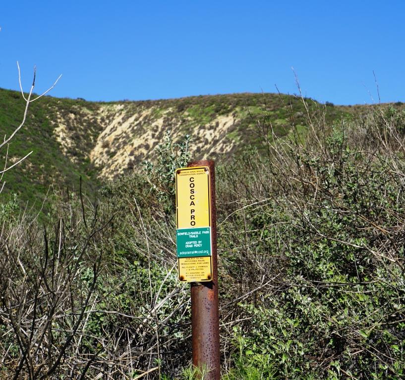
Small COSCA sign at the bottom of the steep hill from Canyon Oaks Park leading into the North Ranch Open Space.
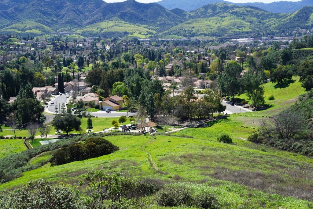
A view of Canyon Oaks Park from about a third of the way up the hill.
There are roughly 3 or 4 miles of trails up here, mostly the Saddle Pass north/south trail but other connector trails to nearby neighborhoods, such as the townhome complex on Via Colinas above Thousand Oaks Blvd and the new Westlake Village Community Park and YMCA.
These hills get quite dry and hot during the summer months but in the spring green up nicely. You may even get the opportunity to enjoy some wildflowers.

Orange beauties can often be seen in the March time frame off the Saddle Pass Trail south section.

Here's another section of trail that connects homes off of Via Colinas into the North Ranch Open Space. Most of these connector trails are quite steep, though generally well maintained!


California poppies on March 16, 2019.