
Then and Now: The Dairy Farm at Camarillo State Hospital
/In 1932, the State of California purchased 1,760 acres of the Lewis Ranch and built the Camarillo State Mental Hospital, which operated from 1936 to 1997 and at one point treated as many as 7,000 patients in the mid 1950s.
Located on the parcel was a dairy farm that produced crops and housed livestock that fed the hospital community. The farm was disbanded in the 1960s and has been left in a state of disrepair, falling prey over the decades to vandals and coined "Scary Dairy."
Here are some "then and now" photos of the most prominent elements of the dairy farm.
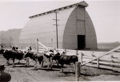
The hay barn at Camarillo State Hospital in the 1940s (CSUCI John Spoor Broome Library historic photo collection)

The hay barn today.

The dairy at Camarillo State Hospital in the mid-1950s. (CSUCI John Spoor Broome Library historic photo collection)

The dairy building today, fenced off, covered with graffiti.
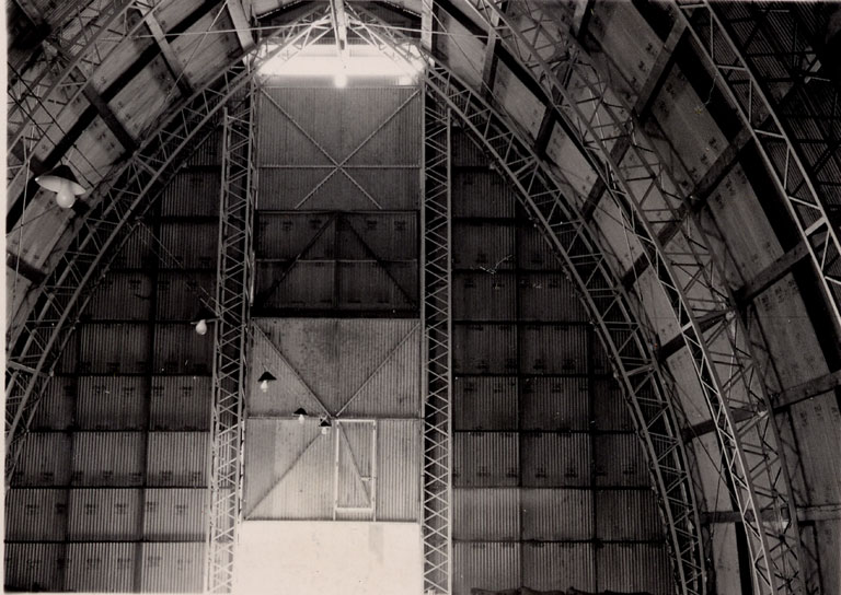
Inside the hay barn - undated photo. (CSUCI John Spoor Broome Library historic photo collection)

Inside of hay barn - more recently.


